Over the past several years Unmanned Aerial Vehicles (UAVs or drones) have rapidly advanced through improved flying ease, and high quality still and video photography. They have become prominent consumer products, and offer potential for low elevation aerial photography to support research and commercial applications. Most such applications feature visible light photography, but we anticipate that future remote sensing applications will include thermal and near-infrared imagery and beyond.
Aerial Photography and live video coverage for film and production.
Drones take amazing pictures from angles and positions that one couldn’t access otherwise.
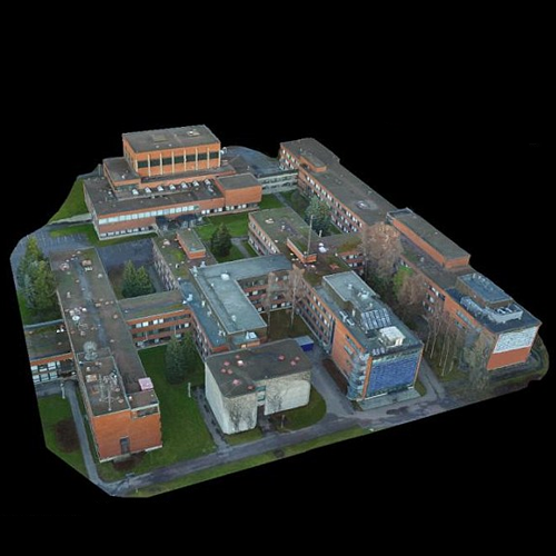
3-D Mapping and Modelling
Geographical Information System (GIS) data aqcuisition.
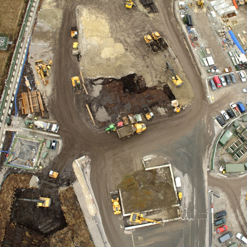
Aerial Mapping of Construction sites
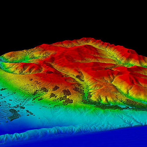
Orthomosaic and LIDAR Mapping
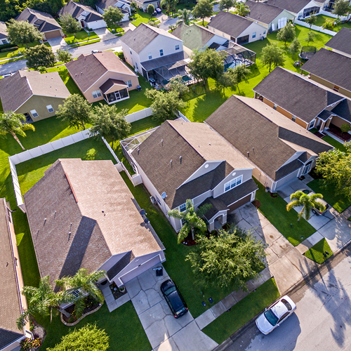
Real Estate Aerial photography and video
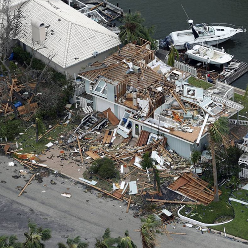
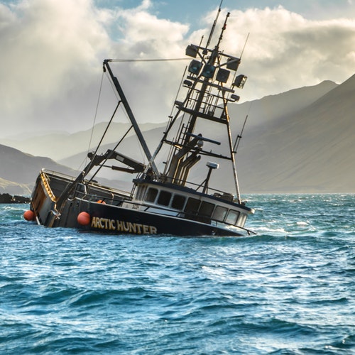
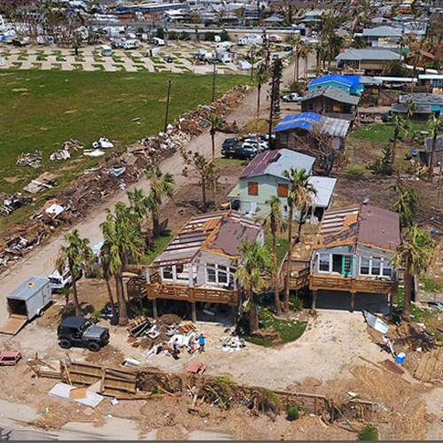
Aerial photography for insurance risk and damage assessments
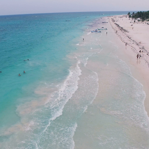
Coast Mapping
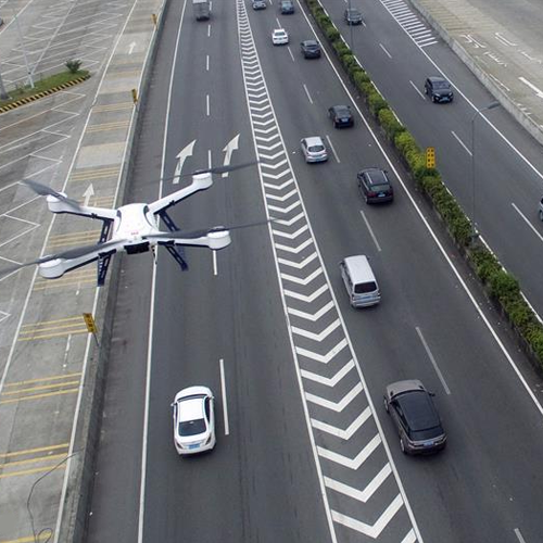
Traffic Mapping